Setting Conservation Priorities
Science, research and a strong biological foundation
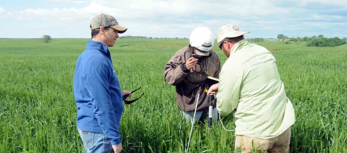
Ducks Unlimited's conservation programs have always had a strong biological foundation. That science and research tradition continues today with hundreds of studies to address the habitat needs of waterfowl. Although a great deal of work has been done and many important questions answered, there is still much to learn about how the birds respond to landscape, habitat and environmental changes.
DU has embraced an approach of constant monitoring and evaluation which allows for continual refinement of its habitat programs. In the end, such an approach ensures that each and every dollar invested in conservation programs is used as effectively and efficiently as possible.
Below is a summary of the methods DU uses to conserve wetlands and valuable habitat in priority areas for North American waterfowl.
How DU Conserves:
- Restoring grasslands
- Replanting forests
- Restoring watersheds
- Working with landowners
- Working with partners
- Acquiring land
- Conservation easements
- Management agreements
- Geographic Information Systems
Restoring Grasslands
Ducks such as mallards, pintails and teal build nests in dense, grassy areas near wetlands. Grassland cover helps hens conceal their nests and increases their chances of successfully hatching a clutch. Once hatched, the hen leads the ducklings over land to a nearby wetland, where they grow into adults. DU and its partners help to secure and restore these grasslands to reduce predation rates and improve nest success.
Replanting Forests
Forests that flood regularly due to overflowing riverbanks, such as the bottomland hardwood forests in the Mississippi Alluvial Valley (MAV), make for ideal wintering habitat for ducks, and provide essential breeding and foraging habitat for other wildlife species. However, 80 percent of these forests have been cleared for agriculture and other purposes, and rivers have been tamed with dams and levees. To date, DU has reforested more than 178,000 acres in the MAV and worked to restore backwater to these forests to mimic historical flooding.
Restoring Watersheds
A watershed is the area surrounding a wetland, and therefore has a great effect on the water quality and general health of a wetland. When watersheds are disturbed, silt, nutrients and contaminants can be washed into downstream wetlands, impacting the flora and fauna that inhabit these systems. For example, in the Chesapeake Bay, most of the aquatic vegetation has been lost and fisheries have been contaminated due to degradation of the watershed. DU restores drained wetlands, protects stream corridors and establishes buffer strips that filter nutrients and silt.
Working With Landowners
Nearly three-fourths of America's remaining wetlands are on private lands. All over North America, DU works with farmers, ranchers and other landowners to improve the agricultural and recreational value of their land, making it more wildlife-friendly. Additionally, a new market is developing where landowners can become suppliers of environmental credits that can be sold in a voluntary trading market by adopting certain types of conservation practices on their land.
Working With Partners
No single group could perform the work necessary to meet the goals of the North American Waterfowl Management Plan and DU's International Conservation Plan. Virtually all of DU's projects are done in cooperation with a number of partners, including state and federal agencies, private corporations and foundations, and individuals.
Acquiring Land
In special cases, DU will purchase property then restore it to improve its value to wildlife. Once the habitat work is complete, DU will then sell or donate the property, usually to a government agency that will manage it for wildlife.
Conservation Easements
Some of the most valuable wildlife habitat is threatened by development. DU's Conservation Easement Program is designed to protect habitats forever through agreements with landowners.
Management Agreements
DU offers financial incentives to landowners that manage their land for waterfowl and other wetland wildlife. The landowner receives a number of benefits under this type of agreement, and hundreds of wildlife species are insured quality habitat.
Geographic Information Systems
Geographic Information Systems (GIS) technology enables DU to determine where our habitat work will be most effective as well as monitor the results of our work. Combining satellite images with other information, such as wetland inventories, land-use practices, soil type, wildlife use and more; DU's GIS specialists produce models that help identify the best places to restore or protect habitat on the landscape.
For more detailed information about waterfowl habitat conservation in an area near you, please visit our Priority Areas.