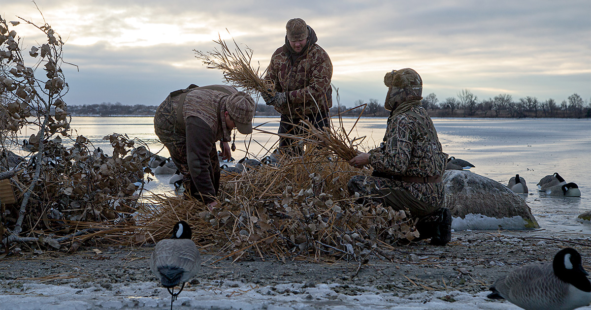
Backwater Birds
Uncover the secrets of hunting backwater birds with valuable tips. Learn about the unique characteristics and habits of backwater waterfowl species, as well as effective hunting techniques for targeting them.
Uncover the secrets of hunting backwater birds with valuable tips. Learn about the unique characteristics and habits of backwater waterfowl species, as well as effective hunting techniques for targeting them.
by Bob Humphrey
We all look forward to a new season and the rapid-fire excitement of opening day. That flurry of fast action soon dies down however, especially in heavily hunted areas. You can continue to sit in the same old blind and complain about the lack of shooting, give up until the flight birds come in, or get headed into to some of the more inaccessible areas.
The first step is to do a little homework. A set of topographic maps and/or aerial photos, or even better some digital mapping software can help you locate waterbodies and waterways that other hunters may not be aware of. On most maps water appears as blue, waterways as blue lines, and waterbodies as blue shapes. Open water will be just blue while swamps and marshes will have a wetland symbol over a blue background.
It should be noted that some of this information may be slightly outdated, especially in areas where beaver are abundant. What shows up on the map as a small stream could actually be a medium-sized beaver pond, and a potential duck magnet. Go out and hike or ride the backcountry or, if you can afford it, charter a small plane for an hour. The extra may be rewarded with your own little honey hole.
What makes these areas such good waterfowling spots is there inaccessibility. Getting to them can be made easier if you use some sort of water or land transportation. Bear in mind, if you can drive a powerboat or truck to it, so can everyone else. The better areas are those you can only reach by canoe or All-terrain vehicle, both of which also make it easier to transport the necessary gear.
Share this photo