Level III Ducks Unlimited conservation priority area, full of vast grasslands ideal for waterfowl nesting habitat
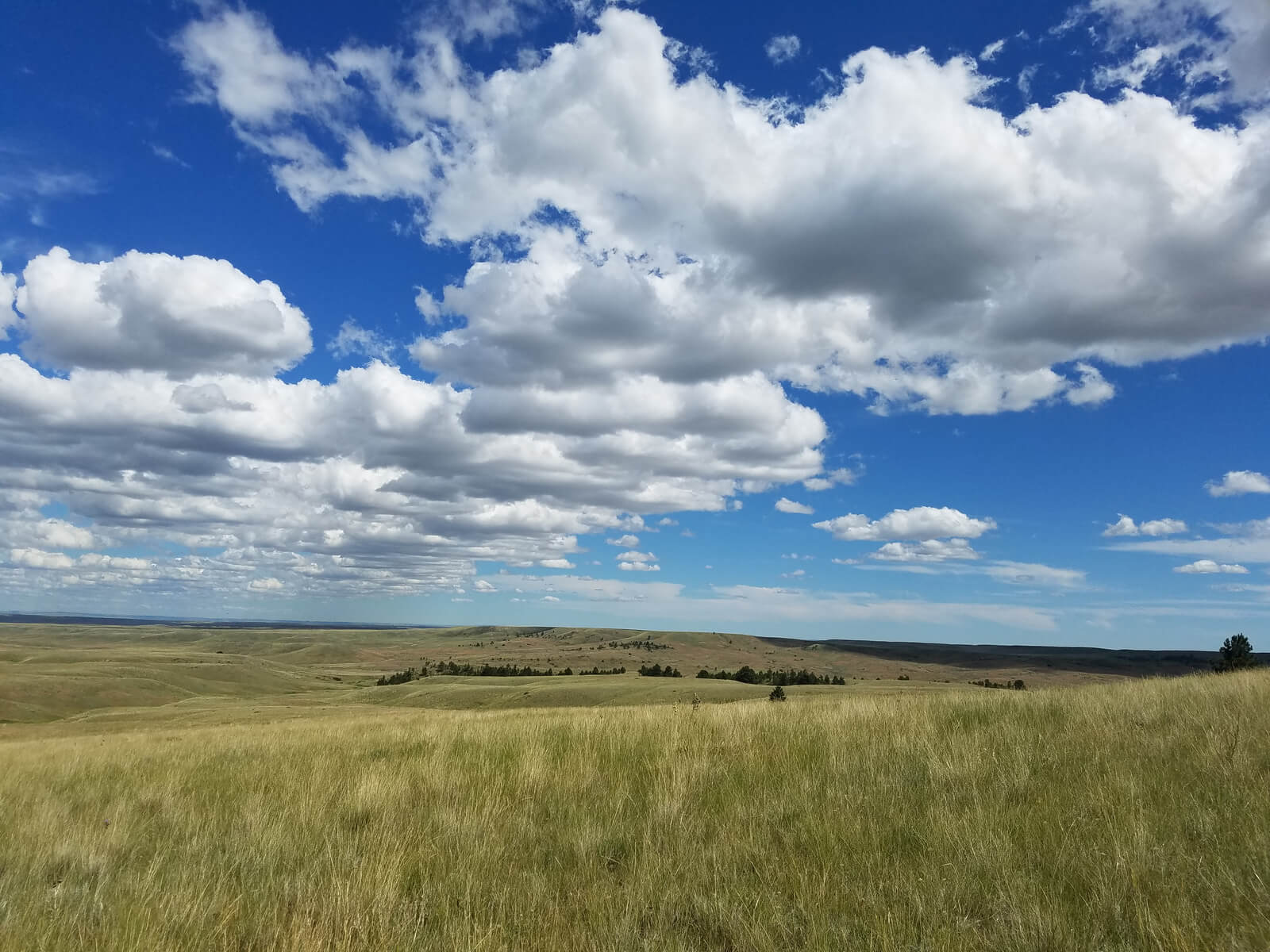
The Northwestern Great Plains waterfowl conservation region is an arid to semi-arid landscape that lies west and south of the Prairie Pothole Region. The region is flat to moderately rolling except for the badlands of western North and South Dakota. Outside of riparian areas and shelterbelts, the area is a vast, treeless prairie. Compared to the PPR, relatively few natural wetlands exist; however, numerous manmade wetlands have been created for livestock and wildlife. These created wetlands have resulted in a net increase in wetlands since European settlement. Nevertheless, the NGP remains a dry environment, and the number of wetlands is believed to limit the abundance of waterfowl in the region.

Montana | Nebraska | North Dakota | South Dakota | Wyoming
The Northwestern Great Plains Waterfowl Conservation Region (Region 16) is an arid to semi-arid landscape that lies west and south of the PPR, east of the Rocky Mountains, and north of the Southern Great Plains Region. Unlike the PPR, most of the NGP was unglaciated, therefore drainage patterns are well developed. The region is flat to moderately rolling except for the badlands of western North and South Dakota, which feature sharp topographic relief. Outside of riparian areas and shelterbelts, the area is a vast, treeless prairie dominated by vegetation typical of mid-grass and short-grass ecosystems.
Land use in the NGP is predominately devoted to livestock production. In most areas, only 5-15% of the land base has been cultivated, although the rate of cultivation is increasing. New, drought-resistant varieties of soybeans, wheat, and canola are becomingly increasingly common. Shallow aquifers occur under a significant portion of the eastern edge of the region, and there is momentum to use this groundwater, along with Missouri River water stored in mainstem reservoirs, for irrigated agriculture. Profitable, irrigated crops like potatoes and other root vegetables thrive in the soils and cool growing climate of the NGP.
Compared to the PPR, relatively few natural wetlands exist in the NGP. However, numerous manmade wetlands have been created for livestock and wildlife. These created wetlands have resulted in a net increase in wetlands since European settlement. "Stock ponds" are usually small (~1 to 5 ha) wetlands that are created by impounding seasonal streams or runoff from shallow basins. "Dugouts" are excavated wetlands under 1 ha in size that are created to water livestock. Together with natural marshes and wetlands that occur along riparian corridors, stockponds and dugouts provide surprisingly productive habitat for waterfowl. In many parts of the NGP, wetlands densities equal or exceed 1 pond/km2, with an average wetland size of about 1 ha. Nevertheless, the NGP remains a dry environment, and the number of wetlands is believed to limit the abundance of waterfowl in the region.
Share this photo